Side project
Every Picture
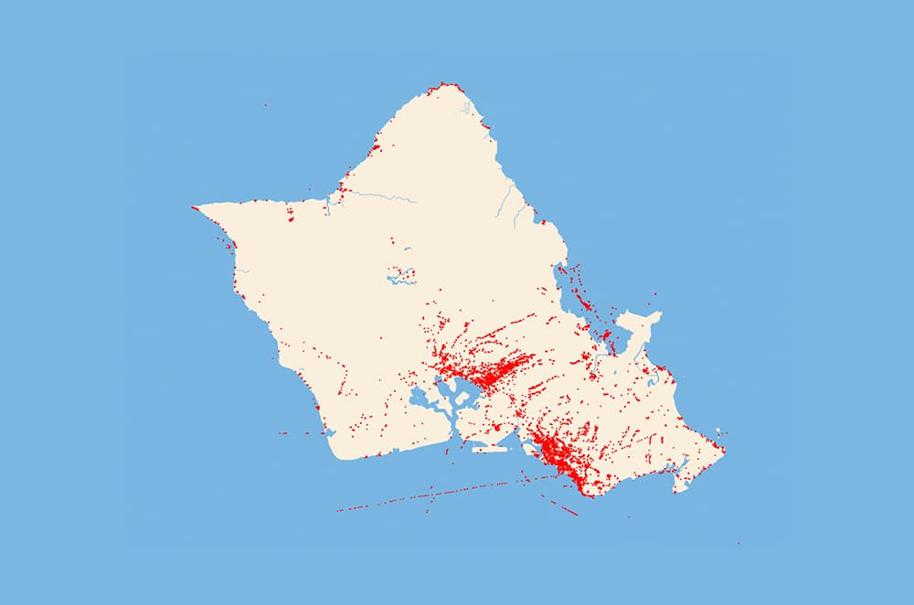
Every geotagged picture since 2012
I wrote a Python script to extract location metadata from Apple Photos' SQLite database, then rendered one red pixel for every geotagged picture with Deck.gl.
What emerges are heatmaps and trails spanning more than a decade— patterns that existed long before I thought to map them. Latitude, longitude, place name, and timestamp are packed into a compact binary dataset for quick loading.
Technologies used
- Python
- OpenStreetMap
- Deck.gl
- Mapbox